
Country
Belgium
Locality
Ieper, West-Vlaanderen
Identified Casualties
666
Visiting Information
Wheelchair access to this cemetery possible via main entrance. For further information regarding wheelchair access, please contact our Enquiries Section on telephone 01628 507200.
Local Information
Brandhoek Military Cemetery is located 6.5 km west of Ieper town centre on the Branderstraat, a road leading from the N308 connecting Ieper to Poperinge. From Ieper town centre the Poperingseweg (N308) is reached via Elverdingsestraat then directly over two small roundabouts in the J. Capronstraat. The Poperingseweg is a continuation of the J. Capronstraat and begins after a prominent railway level crossing. 6 km along the N308, after passing the village of Vlamertinge and just beyond the church in the hamlet of Brandhoek, lies the left hand turning onto the Grote Branderstraat. The cemetery is located 300 metres along the Branderstraat on the left hand side of the road, beyond the N38 dual carriageway, which it is necessary to cross.
Historical Information
During the First World War, Brandhoek was within the area comparatively safe from shell fire which extended beyond Vlamertinghe Church. Field ambulances were posted there continuously and the Military Cemetery was opened early in May 1915 in a field adjoining the dressing station. It closed in July 1917 when the New Military Cemetery was opened nearby, to be followed by the New Military Cemetery No 3 in August 1917. Brandhoek Military Cemetery now contains 669 First World War burials. The cemetery was designed by Sir Reginald Blomfield.
Cemetery Photo
Click the thumbnail below to view a larger image.
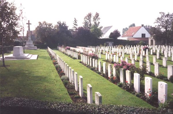
CWGC Cemetery Photo: BRANDHOEK MILITARY CEMETERY
Cemetery Plan
Click the thumbnail below to view a larger image.
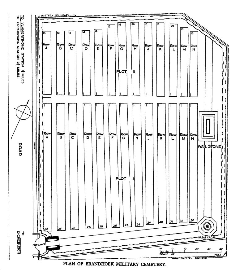
CWGC Cemetery Plan: BRANDHOEK MILITARY CEMETERY

