
Country
Belgium
Locality
Heuvelland, West-Vlaanderen
Identified Casualties
77
Visiting Information
Wheelchair access possible via main entrance. For further information regarding wheelchair access, please contact our Enquiries Section on telephone number: 01628 507200
Local Information
Dranouter Churchyard is located 11.5 kilometres south of Ieper town centre, on a road leading from the Dikkebusseweg (N375). From Ieper town centre the Dikkebusseweg is reached via Elverdingsestraat, straight over a roundabout onto J.Capronstraat (for 30 metres), then left along M.Fochlaan. Immediately after the train station, the first right hand turning is the Dikkebusseweg. On passing through the village of Dikkebus the road continues for 6 kilometres to the village of Loker. Continuing through the village of Loker, the road becomes Dikkebusstraat which runs for 2 kilometres to the village of Dranouter. The church and churchyard are located in the centre of the village.
Historical Information
Dranoutre (now Dranouter) was occupied by the 1st Cavalry Division on 14 October 1914. It was captured by the Germans on 25 April 1918, in spite of the stubborn resistance of the 154th French Division, and it was recaptured by the 30th Division on 30 August 1918. Dranouter Churchyard was used for Commonwealth burials from October 1914 and July 1915 when the military cemetery was begun. In 1923, 19 graves were moved from the churchyard to the military cemetery when the church was rebuilt. Dranouter Churchyard contains 79 Commonwealth burials of the First World War.
Cemetery Photo
Click the thumbnail below to view a larger image.
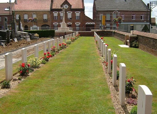
CWGC Cemetery Photo: DRANOUTER CHURCHYARD
Cemetery Plan
Click the thumbnail below to view a larger image.
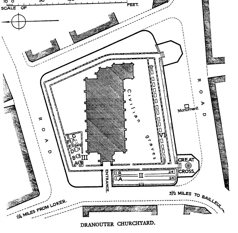
CWGC Cemetery Plan: DRANOUTER CHURCHYARD

