
Country
Belgium
Locality
West-Vlaanderen
Identified Casualties
213
Visiting Information
Wheelchair access possible via main entrance. For further information regarding wheelchair access, please contact our Enquiries Section on telephone number 01628 507200.
Local Information
Loker (formerly Locre) Churchyard is located 11.5 Kms south-west of Ieper town centre on the Dikkebusseweg (N375).
From Ieper town centre the Dikkebusseweg is reached via Elverdingsestraat, straight over a roundabout onto J.Capronstraat (for 30 metres), then left along M.Fochlaan. Immediately after the train station, the first right hand turning is the Dikkebusseweg.
On passing through the village of Dikkebus the road continues for 6 kilometres to the village of Loker. The church and churchyard are located at the side of the road in the village of Loker itself.
Historical Information
Locre (now Loker) was in Allied hands during the greater part of the war, and field ambulances were stationed in the Convent of St. Antoine. The village changed hands several times between 25 and 30 April 1918, when it was recaptured by the French. The hospice, or convent, was the scene of severe fighting on 20 May, but was not retaken until first week in July.
Loker Churchyard was used by field ambulances and fighting units from December 1914 to June 1917, and it contains two Commonwealth plots. One grave was brought in after the Armistice from LOCRE FRENCH CEMETERY No.4.
The churchyard contains 215 Commonwealth burials of the First World War.
Cemetery Photo
Click the thumbnail below to view a larger image.
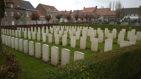
CWGC Cemetery Photo: LOKER CHURCHYARD
Cemetery Plan
Click the thumbnail below to view a larger image.
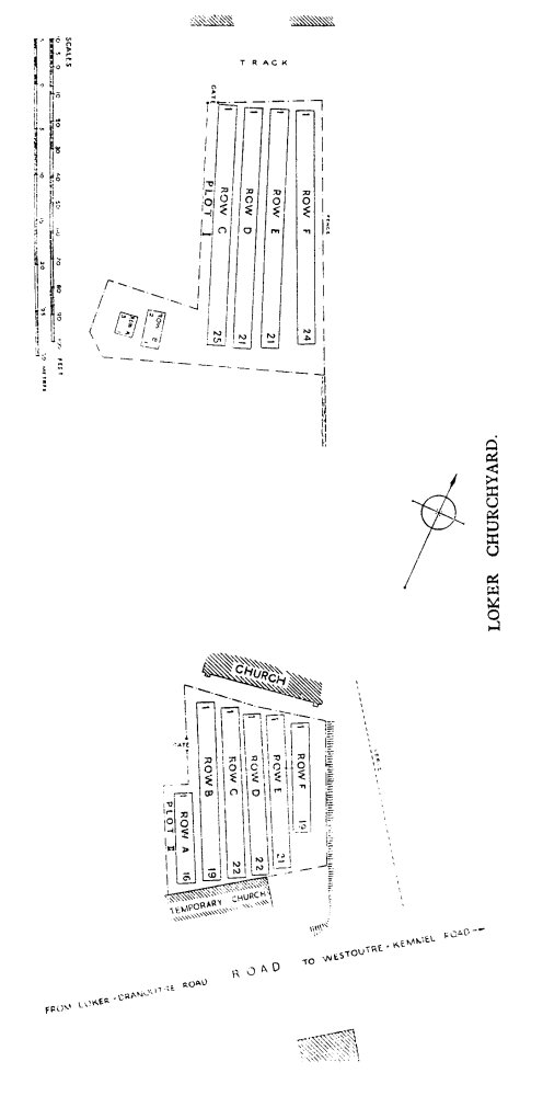
CWGC Cemetery Plan: LOKER CHURCHYARD

