Country
France
Locality
Nord
Identified Casualties
85
Visiting Information
The location or design of this site make wheelchair access impossible. For further information regarding wheelchair access, please contact our enquiries department on 01628 634221.
Local Information
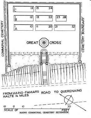
Maing is a village approximately 8 kilometres south of Valenciennes. The Cemetery is on the southern side of the village on the north-eastern side of the road to Querenaing and 2 kilometres before Thiant.
Historical Information
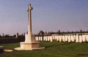
Maing village was captured by the 51st (Highland) Division on the 24th October, 1918. On the East side of the Communal Cemetery are the graves of three United Kingdom soldiers and one Russian, buried by the enemy in mid-October, 1918. The German graves have been removed, and two other British graves have been transferred to the Extension. The Extension is on the South side of the Communal Cemetery. It was made by units of the 51st (Highland) and 49th (West Riding) Division in October and November, 1918. There are now over 80, 1914-18 war casualties commemorated in this site. Of these, a small number are unidentified. The Cemetery covers an area of 548 square metres and is enclosed at the sides and the back by a low stone rubble wall.


