
Country
France
Locality
Somme
Identified Casualties
489
---
Local Information
Thiepval is a village on the D151 road about 8 kilometres north of the town of Albert. The Cemetery (signposted at Thiepval) is about 1kilometre north-west of the village on the north side of the D73 road to Hamel. Access to the cemetery, 500 metres from the road, is by a track (suitable for cars).
Historical Information
Before the 1916 Battle of the Somme, Thiepval was in German hands, garrisoned by the 160th Regiment of Wurtembergers. On 1 July 1916, it was attacked unsuccessfully by the 36th (Ulster) Division and no further attempt on the village was possible until 26 September, when it was captured by the 18th Division. Thiepval remained under Allied occupation until 25 March 1918 when it was lost during the great German offensive, but it was retaken on the following 24 August by the 17th and 38th (Welsh) Divisions. Mill Road Cemetery was made in the spring of 1917 when the German withdrawal to the Hindenburg line allowed the battlefield to be cleared. At the Armistice, it contained 260 burials but was then greatly enlarged when graves were brought in from smaller cemeteries and from the battlefields of Beaumont-Hamel and Thiepval. There are now 1,304 Commonwealth servicemen of the First World War buried or commemorated in the cemetery. 815 of the burials are unidentified but there are special memorials to three casualties believed to be buried among them and three others buried in Divion Road Cemetery No 1, whose graves were destroyed by shell fire. The cemetery was designed by Sir Herbert Baker.
Cemetery Photo
Click the thumbnail below to view a larger image.
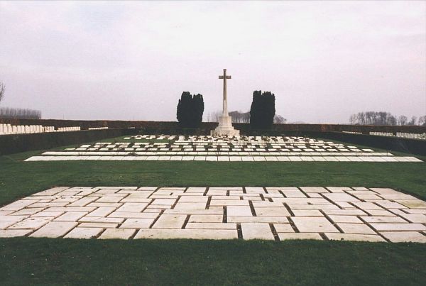
CWGC Cemetery Photo: MILL ROAD CEMETERY, THIEPVAL
Cemetery Plan
Click the thumbnail below to view a larger image.
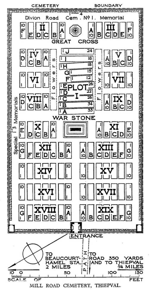
CWGC Cemetery Plan: MILL ROAD CEMETERY, THIEPVAL

